Lot
177
Lot 177
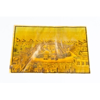
18TH CENTURY MAP, NO:14 Arabian peninsula, red sea, Ethiopia...
1/2
Estimate
£1,000 - £2,000
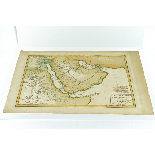
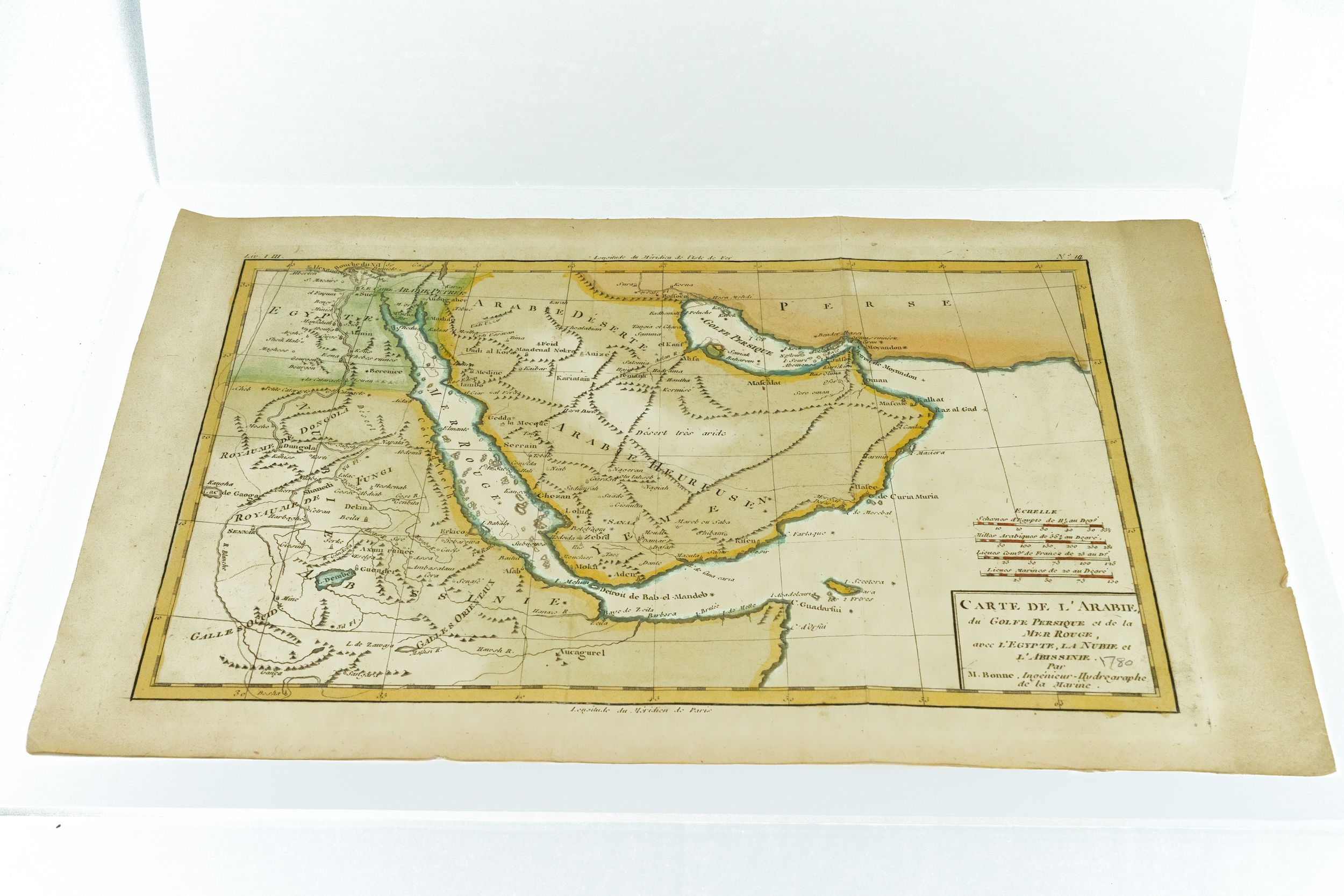
18TH CENTURY MAP, NO:14
Arabian peninsula, red sea, Ethiopia and persian gulf map by French cartographer M. Bonne(in 1787 engineer and hydrographer of French Armada)
26 x 39,5 cm
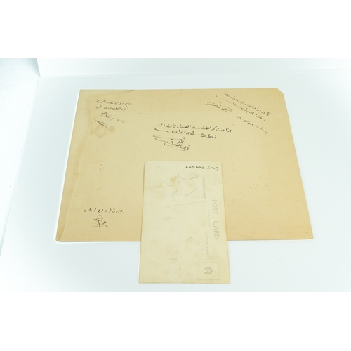
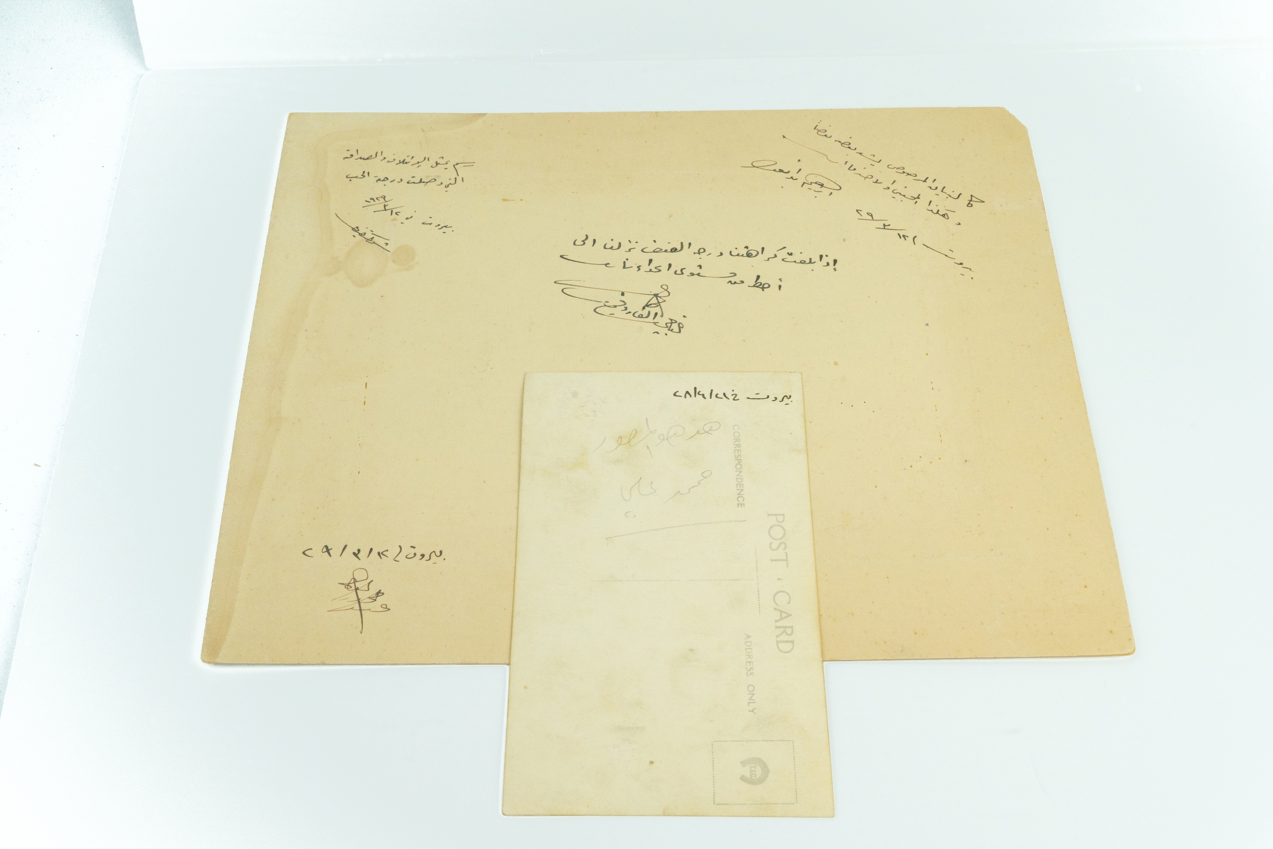
32 x 21 cm
Closed
Auction Date:
23rd Oct 2023
at
1:45pm
Fees apply to the hammer price:
Room and Absentee Bids:| 1 to 100000: | 30% inc VAT* |
| 100001 to 200000: | 24% inc VAT* |
| 200001 to 500000: | 18% inc VAT* |
| 500001+: | 12% inc VAT* |
| 1 to 100000: | 33.6% inc VAT* |
| 100001 to 200000: | 27.6% inc VAT* |
| 200001 to 500000: | 21.6% inc VAT* |
| 500001+: | 15.6% inc VAT* |
Please see the auctioneers terms & conditions for more information
Other Lots in this Auction
Sale Dates:
23rd Oct 2023 1:45pm
(Lots 1 to 258)